Thanks to Carolyn, Carol, and Dwayne for our track for the Tuesday May 8, 2012 hike
Car poolers will be leaving the centre at 9:15. If joining us at the parking lot near the junction of Highland Rd and Barker Rd (see map below) please be there at 9:25.
Car poolers will be leaving the centre at 9:15. If joining us at the parking lot near the junction of Highland Rd and Barker Rd (see map below) please be there at 9:25.
The inspiration for this hike comes from Carolyn, who showed it to Dwayne. Carol and Dwayne went back and did a 7km loop, starting from Highland Rd. They were on the trail for 2:12, which included time for pictures. Lots of wild flowers were in bloom.
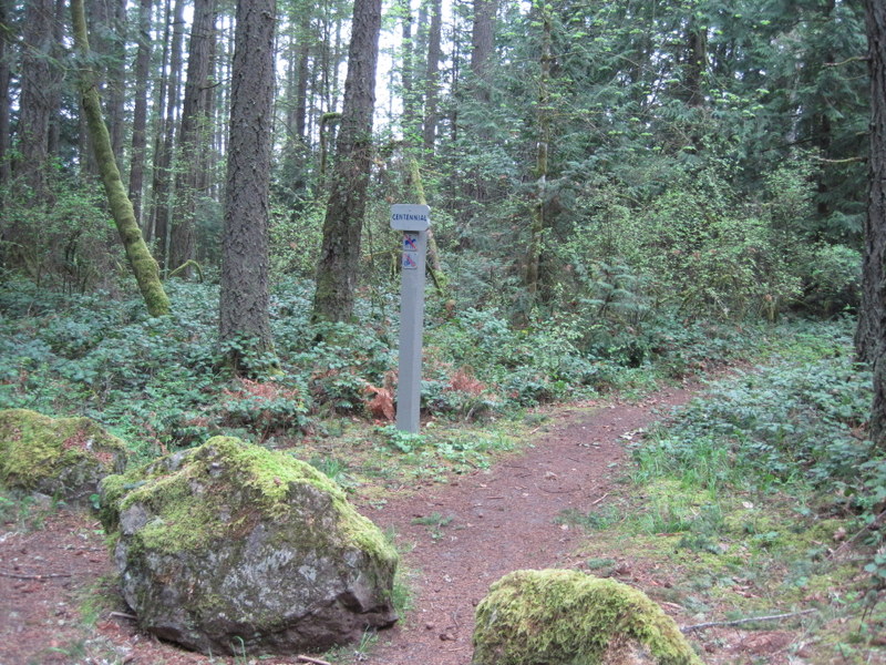
Hiking direction was clockwise; Panhandle Trail, Centennial Trail, Marsh Trail, Centennial Trail, and High Ridge Trail on the map. The hike included the Elsie King Trail near the Park Headquarters.
There is a small parking lot near the junction of Highland Rd and Barker Rd. There is also a sign "Francis King Park".
Directions to the parking lot where we'll meet
View Larger Map
Track
http://maps.google.ca/maps/ms?
Thanks to Dwayne for the pictures taken on the recon.

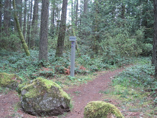


Thanks to Dwayne for the pictures taken on the recon.