Directions
We'll meet at last week's stop (parking next the the wild bird seed store at kilometer 18) at 9:15 and hike to the day's destination - the parking lot at 5410 Rocky Point Road. We will board the vehicle left there for the return trip to the Luxton parkade.
View Larger Map
The hike was 12.5K
View Galloping Goose 3 Luxton to Rocky Pt Rd. Jan. 28, 2013 in a larger map
Pictures from the hike.
Off we go
Luxton fairground.
New Luxton station
Accelerate down the straightaway.
Rifle Range. It can get pretty noisy here on the weekend.
Lots of ferns along the route.
Must be the right way.
Below - historical monument
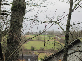
First views of the ocean.
Just past the free ranging chickens are two Turkey Vultures. I wonder why there were no chickens in sight. Hmm. Couldn't get a very good picture with the Brownie Hawkeye
Rocky Point Rd and the end. If it seemed long, it was 12.5 km.
Thanks for the pics, Kathy and Dwayne!
Description from the official guide
Just west of Glen Lake and Jacklin Road, the Goose swings south and leaves Langford behind, entering Metchosin, one of the earliest pioneering communities on Vancouver Island. For about seven kilometres, the trail loosely parallels Happy Valley Road, crossing it twice before veering west towards Rocky Point Road at Kangaroo Road.
Where the Goose in the eastern urban sections is used primarily by commuters and neighbourhood strollers, the Metchosin section is a destination of choice. It’s easy to see why. The rural pasture lands, small farms surrounded by hills, lazy creeks, and arbutus-clad outcrops remind users of a day gone-by — when life was simpler and slower and closer to nature.
In 1871, one of the first public schools in Western Canada opened here. The Metchosin School still stands near the corner of Happy Valley and William Head roads, only a short 1½ kilometres from the Goose.


No comments:
Post a Comment