Monday, August 27, 2012

Tuesday November 19, 2013 Goldstream Park loop

Goldstream Park loop


Directions

Car poolers will be leaving the centre at 9:15; those meeting at the trailhead will be leaving on the hike at 9:30. This is a fantastic 8.2 k hike with views of three water features, one trestle bridge, and a gold mine. There's enough elevation change (see chart below) to make it excellent cardiovascular exercise!


View Larger Map


Track

View Goldstream Park August 25, 2012 in a larger map

Dwayne's pictures from the recon


Tuesday, August 21, 2012

Muir Creek Fossil Hunt, May 11, 2013 Saturday Recon

Muir Creek Fossil Hunt, May 11, 2013 Saturday Recon

This hike has to be coordinated with a low tide to get the best value out of the hike.  Saturday's low tide is 10:15 am

Kathy's report


The area I suggested for a fossil hunt and hike is Muir Creek.  See http://www.muircreek.org/_
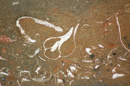
Welcome_to_Muir_Creek.html  and click on "fossils".     
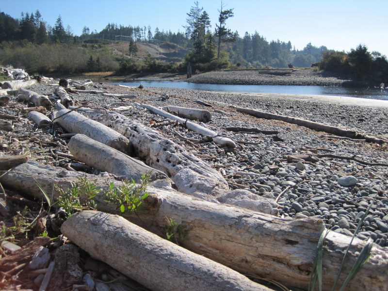
We need to go at low tide in mid morning so we'll have to plan ahead.  It only takes about 15 minutes to walk to where the fossils can be seen but we can continue along the shore as far as we want.  Apparently it is also possible to walk up the side of the creek at the end of the summer when it is really dry but I haven't personally done that so I don't have any details.  It would be fun to check it out.

September 18, 2012 Hike Report

Track


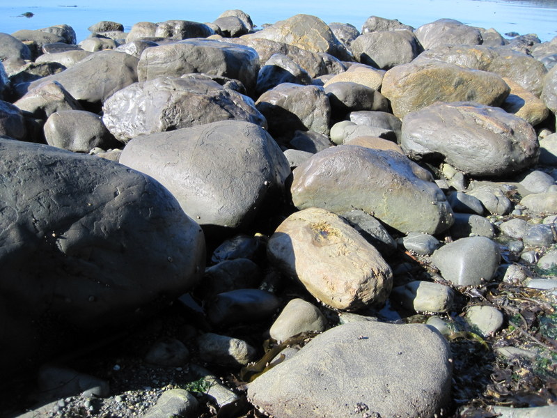
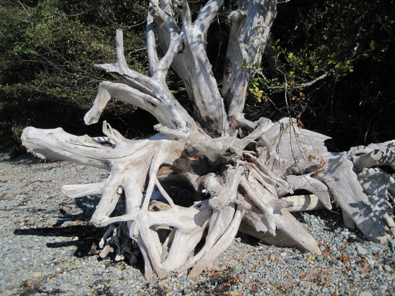
Everyone thought this was a great hike - definitely to be repeated!

Great Pics - Thanks Dwayne


Here are links describing Muir Creek

This looks like a great hike with the interest of seeing fossils ( not referring to our group at all!!)


Directions and map

We'll be leaving from the centre at 9:15 as usual.

It's about 45 mins to the trail head; we will be at the Muir Creek Bridge by about 10:15 - smack dab on low tide!

According to the tide tables, low tide is 10:15 am, so this should be the perfect day for the trip.


View Larger Map

Tuesday June 25, 2013 Mount Manuel Quimper

Directions

Car poolers will be leaving the Centre at 9:15 and arriving at the trail head at approximately 9:45.

The hike is 10k and is one of the most interesting and scenic in our repertoire. Elevation change is about 1500ft (only about 460 metres - sounds better!)

Bring a light lunch.

Directions Map


View Larger Map

Mount Manuel Quimper access is via Harbourview Rd. Drive down Harbourview 750 m to the parking lot.

Hike Report, June 25, 2013

Four of us braved the rain to enjoy the view from the top of Mt Quimper. There were seven other hikers up there today as well. Popular place! 

Track


View Mt Quimper - June 25, 2013 in a larger map


Photos

Dwayne's recon 2012

I hiked up Mount Manuel Quimper. It was great! 1500+ feet vertical, 10-12 km (depending on whether you miss the turnoff), but the view of Sooke Harbour was superb. I wished I had a panoramic option on my camera. It has one of the very few remaining BC Forest Service Fire lookouts on Vancouver Island, which was built in 1951. Most accessible lookouts have been decommissioned by the Forest Service due to vandalism. Mt Quimper is in Sooke Mountain Provincial Park. The park was established in 1928, but has no established facilities, other than the parking lot at the end of Harbourview Road. 


https://maps.google.ca/maps/


Sooke Mirror Article


Hike Report October 2, 2012

Track
https://maps.google.ca/maps/ms?msid=209938729472309822028.0004cbe183290e827f8a2&msa=0&ll=48.41148,-123.667085&spn=0.049167,0.111494

View as advertised:


 Actual View ;-):


Pictures from Dwayne's recon