Thursday, November 15, 2012

Dec 18, 2012 Christmas Lunch Hike

We'll be leaving the centre at 9:15 and setting off from the Car park on Head street on Songhees Walkway to, and perhaps beyond, the Johnson St. Bridge.  If you're joining us at the trail head, be there at 9:30. We'll head back to the Princess Mary Cafe   at 459 Head Street to have lunch at around 12:30.  


How to get there - google map


View Larger Map

Friday, September 7, 2012

New Feature

Click on the HIKING SCHEDULE link (on the right) to get to the list of hikes we are doing in the next few weeks.

Monday, August 27, 2012

Tuesday November 19, 2013 Goldstream Park loop

Goldstream Park loop


Directions

Car poolers will be leaving the centre at 9:15; those meeting at the trailhead will be leaving on the hike at 9:30. This is a fantastic 8.2 k hike with views of three water features, one trestle bridge, and a gold mine. There's enough elevation change (see chart below) to make it excellent cardiovascular exercise!


View Larger Map


Track

View Goldstream Park August 25, 2012 in a larger map

Dwayne's pictures from the recon


Tuesday, August 21, 2012

Muir Creek Fossil Hunt, May 11, 2013 Saturday Recon

Muir Creek Fossil Hunt, May 11, 2013 Saturday Recon

This hike has to be coordinated with a low tide to get the best value out of the hike.  Saturday's low tide is 10:15 am

Kathy's report


The area I suggested for a fossil hunt and hike is Muir Creek.  See http://www.muircreek.org/_
Welcome_to_Muir_Creek.html  and click on "fossils".     
We need to go at low tide in mid morning so we'll have to plan ahead.  It only takes about 15 minutes to walk to where the fossils can be seen but we can continue along the shore as far as we want.  Apparently it is also possible to walk up the side of the creek at the end of the summer when it is really dry but I haven't personally done that so I don't have any details.  It would be fun to check it out.

September 18, 2012 Hike Report

Track


Everyone thought this was a great hike - definitely to be repeated!

Great Pics - Thanks Dwayne


Here are links describing Muir Creek

This looks like a great hike with the interest of seeing fossils ( not referring to our group at all!!)


Directions and map

We'll be leaving from the centre at 9:15 as usual.

It's about 45 mins to the trail head; we will be at the Muir Creek Bridge by about 10:15 - smack dab on low tide!

According to the tide tables, low tide is 10:15 am, so this should be the perfect day for the trip.


View Larger Map

Tuesday June 25, 2013 Mount Manuel Quimper

Directions

Car poolers will be leaving the Centre at 9:15 and arriving at the trail head at approximately 9:45.

The hike is 10k and is one of the most interesting and scenic in our repertoire. Elevation change is about 1500ft (only about 460 metres - sounds better!)

Bring a light lunch.

Directions Map


View Larger Map

Mount Manuel Quimper access is via Harbourview Rd. Drive down Harbourview 750 m to the parking lot.

Hike Report, June 25, 2013

Four of us braved the rain to enjoy the view from the top of Mt Quimper. There were seven other hikers up there today as well. Popular place! 

Track


View Mt Quimper - June 25, 2013 in a larger map


Photos

Dwayne's recon 2012

I hiked up Mount Manuel Quimper. It was great! 1500+ feet vertical, 10-12 km (depending on whether you miss the turnoff), but the view of Sooke Harbour was superb. I wished I had a panoramic option on my camera. It has one of the very few remaining BC Forest Service Fire lookouts on Vancouver Island, which was built in 1951. Most accessible lookouts have been decommissioned by the Forest Service due to vandalism. Mt Quimper is in Sooke Mountain Provincial Park. The park was established in 1928, but has no established facilities, other than the parking lot at the end of Harbourview Road. 


https://maps.google.ca/maps/


Sooke Mirror Article


Hike Report October 2, 2012

Track
https://maps.google.ca/maps/ms?msid=209938729472309822028.0004cbe183290e827f8a2&msa=0&ll=48.41148,-123.667085&spn=0.049167,0.111494

View as advertised:


 Actual View ;-):


Pictures from Dwayne's recon


Monday, June 18, 2012

Proposed schedule to August 2012

With the summer holiday season upon us, and with all of us taking vacation :-), doing house painting etc :-( at various times over the next couple of months, I thought it would be a good idea to put up a suggested schedule for the Tuesday Ad Hoc Hikers.  These are all hikes we've done before, so the instructions will still apply. Hopefully we can sort out a hike leader from those of us going on each hike. Doing these hikes also will allow us to get gps tracks to update our hike directions.

Tuesday June 26, 2012 Ross Durrance Trail

July 3, 2012, Mount Wells Regional Park

July 10, 2012, Grove Hike - Roche Cove Regional Park


July 17, 2012 Elk/Beaver Lake

July 24, 2012, Sooke Potholes

July 31, 2012 Sooke Regional Park

August 7, 2012 Witty's Lagoon to Tower Point 

August 14, 2012 Francis King Park - Centennial and High Ridge Trails

August 21, 2012 Thetis Lake via Connector Trail

August 28, 2012 Tod Caleb Pike - Holmes Peak/Roundtree Loop

September 4, 2012, Finlayson Summit the easy way.

Sunday, May 20, 2012

June 12, 2012 Skirt Mountain Viewpoints

We followed the track below but didn't do the furthest viewpoint this time. This hike is really good for cardio exercise and has some really interesting viewpoints.


Not to mention the exotic fox-glove grove!


I said not to mention that!

Directions
Carpoolers should leave the centre at 9:15, and those meeting at the trailhead should be at the car park at the north end of Brock Avenue at 9:30.

Here's the Google map with directions to the trail head.


View Larger Map

Here's the Google map of the hike track.


View Skirt Mt Via Unfinished Road in a larger map


This is a really interesting hike with some of the best and most interesting viewpoints around.  There are some short cardio sections getting up to the viewpoints, and the associated descents are just as steep on the way down as they were on the way up.  However, the views are worth the effort.

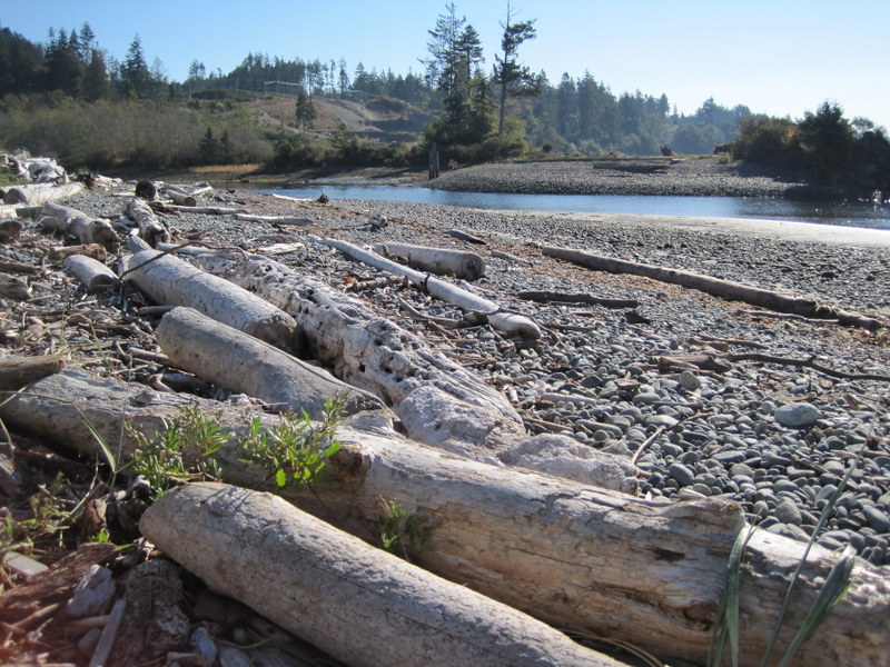
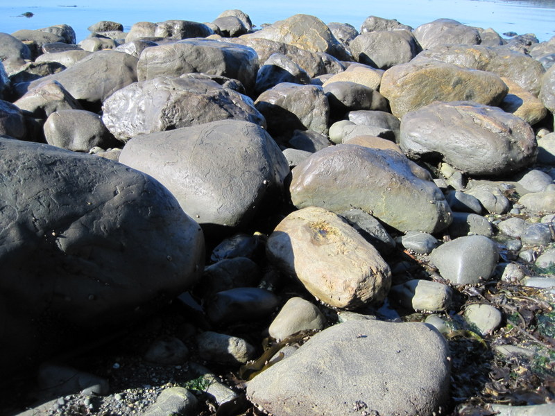
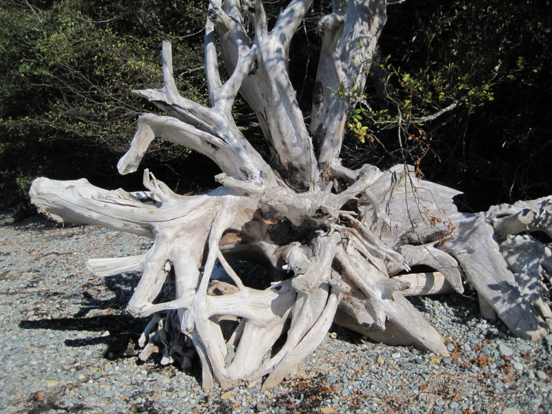
Here are Dwayne's pictures of the recon we did on Saturday, May 19, 2012.


Here's the MotionX track of the hike.


Name:Skirt Mountain Viewpoints
Date:May 19, 2012 9:56 am
Map:
(valid until Nov 16, 2012)
View on Map
Distance:8.29 kilometers
Elapsed Time:2:06:44
Avg Speed:3.9 km/h
Max Speed:20.4 km/h
Avg Pace:15' 17" per km
Min Altitude:68 m
Max Altitude:313 m
Start Time:2012-05-19T16:56:35Z
Start Location:
Latitude:48.455494º N
Longitude:123.510825º W
End Location:
Latitude:48.455268º N
Longitude:123.511208º W